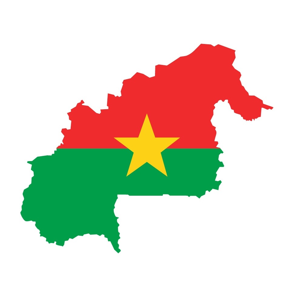
Burkina Faso is a landlocked country in West Africa, bordered by Mali (to the north), Niger (to the east), Benin, Togo, Ghana, and Côte d’Ivoire (to the south).
The former Upper Volta, which covers an area of 274,200 km², changed its name to Burkina Faso (Land of Upright People) in 1984, during the establishment of a socialist military regime. Its capital is Ouagadougou. Burkina Faso is primarily composed of a plateau with an average altitude of 250 to 350 meters, which steeply drops in the southwest (with the Banfora cliffs and waterfalls) and gradually descends in the north towards the Niger River valley. For those traveling to Burkina Faso, local agencies are available to help discover the key attractions of this African country.
Burkina Faso has a tropical climate of the Sudanese-Sahelian type (characterized by significant rainfall variations, ranging from an average of 350 mm in the north to over 1,000 mm in the southwest), with two very distinct seasons: the rainy season, with rainfall ranging from 300 mm to 1,200 mm, and the dry season during which the harmattan, a hot and dry wind from the Sahara, blows. The rainy season lasts about 4 months, from May-June to September, and is shorter in the northern part of the country.
Thus, three main climatic zones can be distinguished:
Sahelian zone in the northern part of the country: less than 600 mm of rainfall per year and high temperature fluctuations (15°C to 45°C).
Sudano-Sahelian zone between 11° 3′ and 13° 5′ North latitude. This is an intermediate zone in terms of temperatures and rainfall.
Sudano-Guinean zone in the southern part of the country: more than 900 mm of rainfall per year and relatively lower average temperatures.
There are two unequal seasons:
A very short rainy season lasting 3 to 4 months (June to September).
A dry season lasting 8 to 9 months (October to June).
The scarcity and uneven distribution of rainfall have led to increasingly stronger migrations of people, mainly from the North and Central regions, towards cities, the southwest of Burkina Faso, and coastal countries.
Temperatures range from 16°C to 45°C; the average annual evaporation is estimated at 3,000 mm, and the annual recharge of the underground water table is 40 mm.